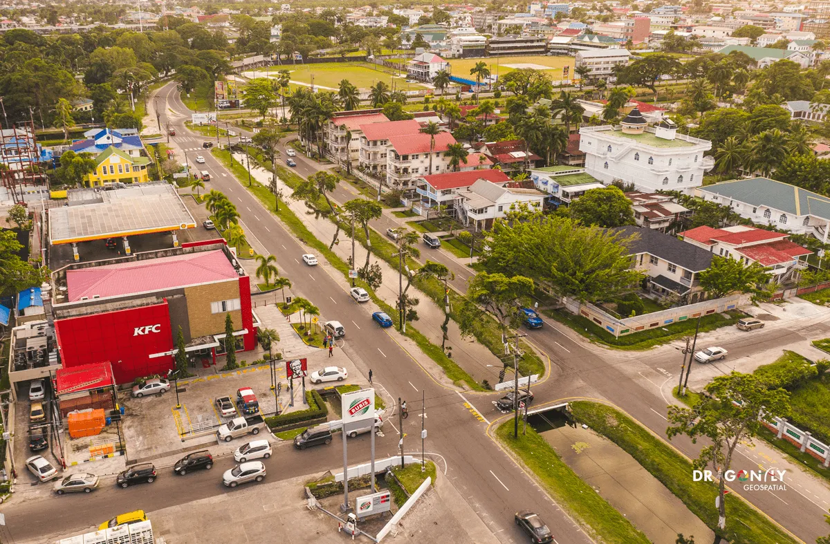
PRECISION
SOLUTIONS

Drone technology and geospatial expertise delivering high-accuracy solutions across Guyana and the Caribbean region.

Our Projects

Guyana's Leading
Geospatial
Specialists

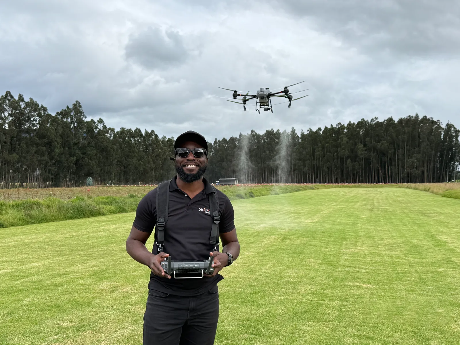
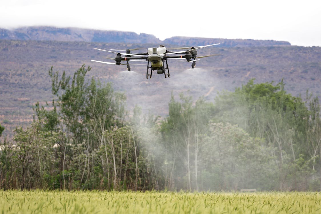
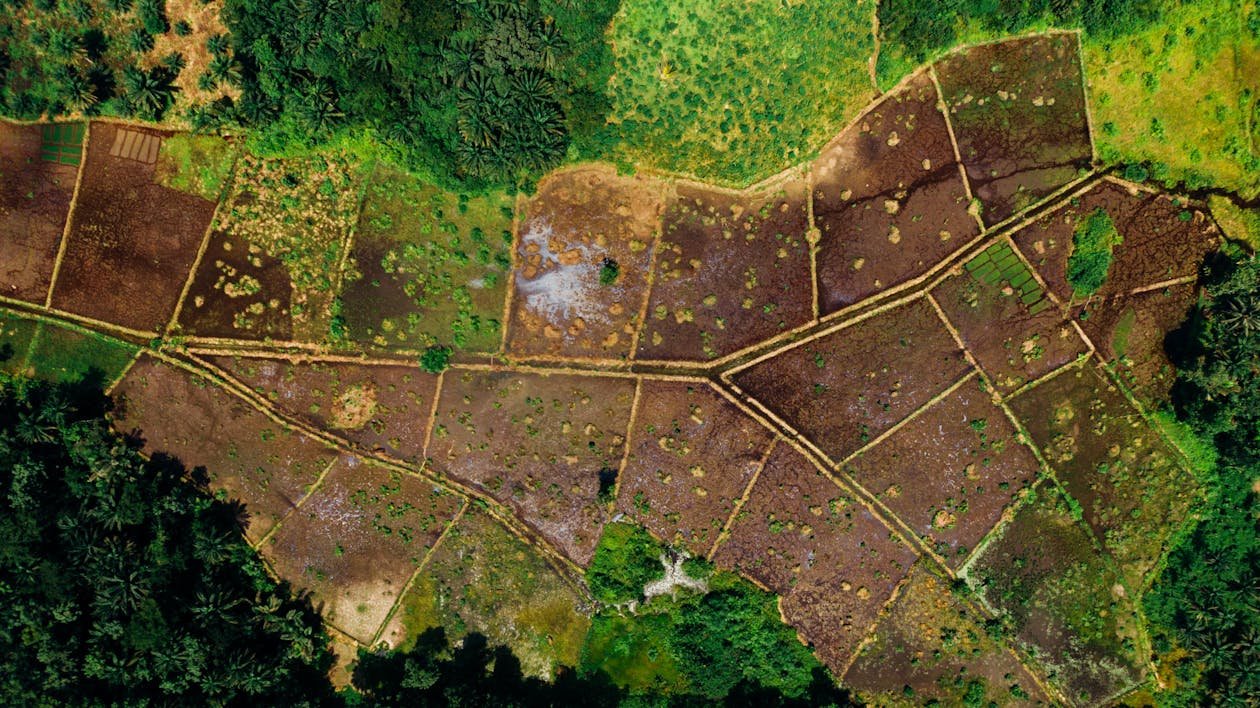
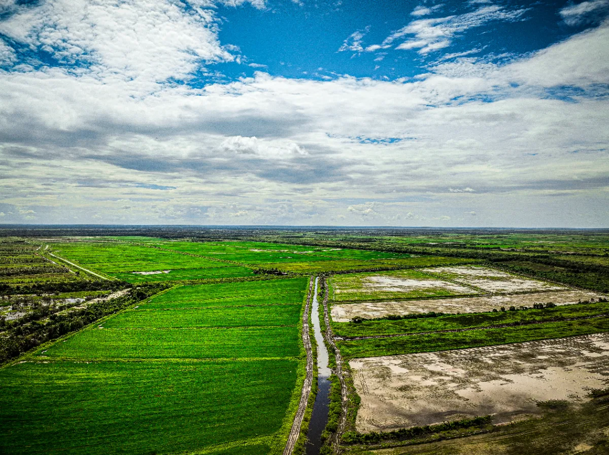
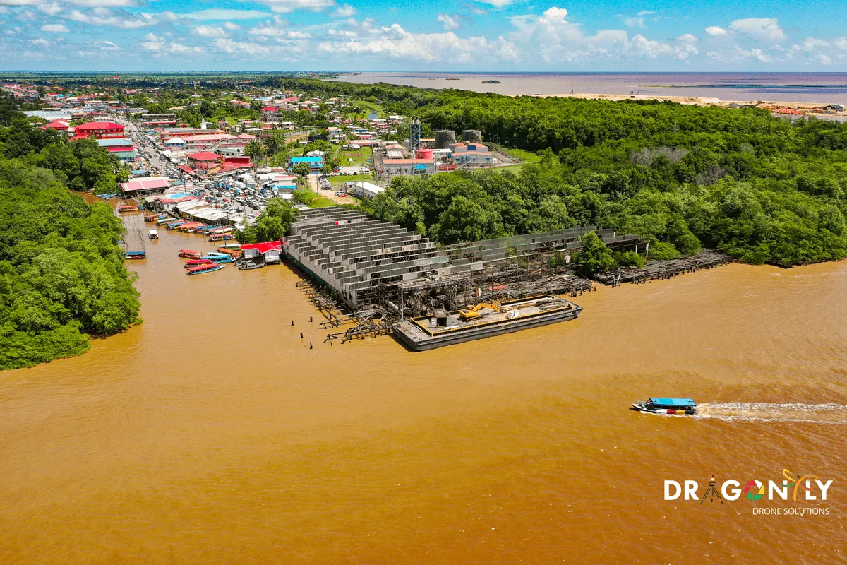
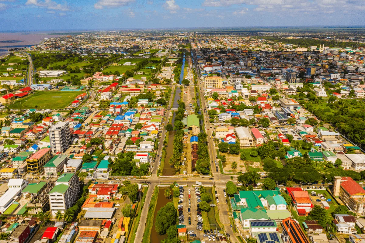
Welcome to the forefront of innovation in autonomous drone technology and geospatial applications. At Dragonfly Solutions Group, we lead the way as UAV experts, revolutionizing the field of aerial mapping, geomatics, and drone services across Guyana.

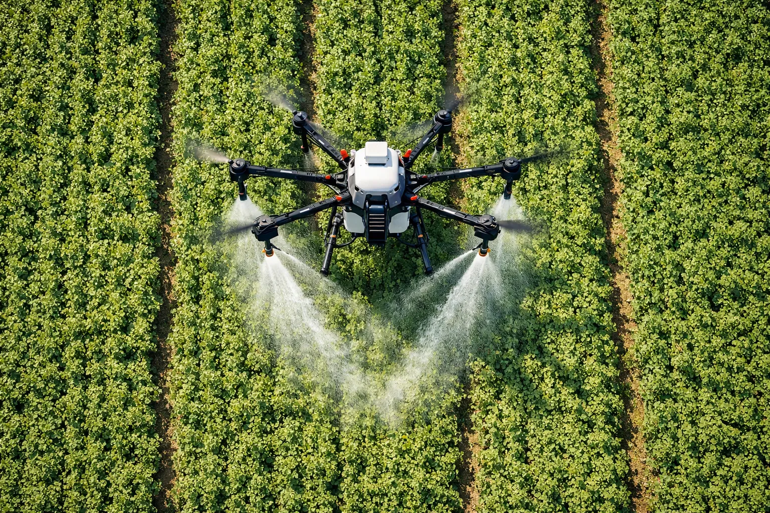
Our team of certified flight professionals and geospatial engineers harnesses cutting-edge technology to deliver unparalleled, high-accuracy solutions for government agencies, energy companies, construction firms and beyond.

Talk to an expert
Drone operator conducting aerial survey in Guyana
0+
Years of Excellence
0+
Projects Completed
0+
Clients Served
Core Divisions

Our Solutions

Precision drone spraying crops
01 Precision Drone Spraying
Farm mapping and aerial survey
02 Farm Mapping and Survey
Agricultural asset inspection drone
03 Agricultural Asset Inspection
Targeted drone broadcasting operation
04 Targeted Drone Broadcasting Operation
Crop monitoring and scouting
05 Crop Monitoring and Scouting
Aerial filming and cinematics
06 Aerial Filming

Proudly delivering precision services to leading organisations across Guyana

Client Logo Client Logo Client Logo Client Logo Client Logo Client Logo Client Logo Client Logo Client Logo Client Logo Client Logo Client Logo Client Logo Client Logo Client Logo Client Logo Client Logo Client Logo Client Logo Client Logo Client Logo Client Logo Client Logo Client Logo Client Logo Client Logo Client Logo Client Logo

Built for
Every Sector

OIL & GAS

Pipeline inspection, offshore platform surveys, flare stack analysis and environmental monitoring for Guyana's booming energy sector.

ExxonMobil · Energy Sector
CONSTRUCTION

Site progress monitoring, volumetric surveys, 3D models for project planning and as-built documentation for construction projects.

Progress Monitoring · 3D Modelling
AGRICULTURE

Multi-spectral imaging, crop health mapping, precision spraying and irrigation analysis for large-scale agricultural operations.

Crop Health · Precision Spraying
REAL ESTATE

Aerial photography, virtual property tours, site showcase videos and boundary mapping for Guyana's growing real estate market.

Keller Williams · Property Tours
ENVIRONMENT

Deforestation monitoring, wetland mapping, wildlife surveys and environmental impact assessments supporting Guyana's conservation commitments.

EPA Guyana · Conservation
EVENTS & MEDIA

Live event aerial coverage, broadcast-quality 4K footage, corporate productions and dramatic drone light shows for large-scale events.

Giftland · Corporate · Broadcast

End-to-End Aerial
Excellence

CAA CERTIFIED OPERATIONS

Every flight is conducted under Guyana Civil Aviation Authority certification. Our pilots are trained to the highest international standards for commercial UAV operations.

HIGH-ACCURACY GEOSPATIAL DATA

Survey-grade outputs with centimetre-level accuracy using RTK GPS and professional-grade sensors. Trusted by ExxonMobil, MARAD and the EPA.

LOCAL EXPERTISE, GLOBAL STANDARDS

Deep knowledge of Guyana's terrain, regulations and conditions — combined with globally recognised geospatial and drone industry standards and best practices.

COMMUNITY-FIRST COMMITMENT

Through DRONEKIDS, DRONEGIRLS and STEM programs, we are investing in the next generation of Guyanese aviation and technology professionals.

Our Work

Aerial geospatial survey mapping
DHB aerial cinematics coverage
Drone field deployment operations
Georgetown urban aerial mapping
Aerial photography project
Drone flying over Guyana landscape

PRECISION
AGRICULTURE
DRONES

Advanced crop monitoring, spraying, and field analysis using multi-spectral drone technology — maximising yields and minimising environmental impact across Guyana's agricultural sector.

What Our Clients Say

5.0 ★★★★★
Google Reviews
Isabella Bovolo
★★★★★

We hired some M350 DJI batteries off Brian for a research project. Brian was very approachable, professional and knowledgeable and helped us with transport and all communications for the batteries. We would certainly work with Brian again. Thank you!

Tivia Collins
★★★★★

Brian is a thoughtful person and is very willing to work based on the vision and plan. I enjoyed our collaboration and look forward to future projects.

Alan Gabriel
★★★★★

THE BEST drone service provider in Guyana hands down! Would 100% recommend this team to everyone!

Kareem Brown
★★★★★

When it comes to professionalism and technical expertise, Dragonfly is simply unmatched. Their precision and deep industry knowledge helped us complete our project seamlessly and under budget. True experts who deliver beyond expectations.

Alicia Rodrigues
★★★★★

We hired Dragonfly for aerial photography of our Georgetown properties and the results were breathtaking. Our listings sold faster than ever. They truly understand how to showcase real estate from the sky.

Carlos Fernandes
★★★★★

Dragonfly provided cinematic drone coverage for our corporate event and the footage was breathtaking. From planning through delivery, every detail was handled with care. A first-class operation from start to finish.

Frequently Asked

We operate across all of Guyana, including remote and interior locations. Our team has extensive experience conducting missions in jungle terrain, coastal regions, riverine areas and the hinterland. We handle all necessary flight planning and regulatory approvals for every location.

Yes. All Dragonfly drone operations are conducted under full Guyana Civil Aviation Authority (GCAA) certification. Our pilots hold current Remote Pilot Licences and every commercial operation is comprehensively insured. Safety and compliance are non-negotiable for us.

Our geospatial surveys deliver centimetre-level horizontal and vertical accuracy using RTK/PPK GPS technology and ground control points. Typical accuracies range from 1–3 cm horizontally and 2–5 cm vertically, exceeding most engineering survey requirements.

Turnaround times depend on project complexity. Aerial photography and video productions are typically delivered within 3–5 business days. Geospatial mapping and GIS deliverables are usually ready within 5–10 business days from data collection. Rush timelines can be accommodated — contact us to discuss.

Absolutely. The Dragonfly Academy offers tailored corporate training programs for organisations who want to build in-house drone capability, including government agencies, security firms, agricultural companies and NGOs. We also run the ARROWHEAD platform for public safety agencies. Contact us to design a custom training program for your team.

READY TO
FLY HIGHER?

Whether you need precision geospatial data, cinematic aerial visuals, or certified drone training. Dragonfly Solutions Group is Guyana's trusted partner for every project.

+592 687 2714